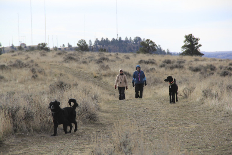
Nancy Wiggins, left, and Nancy Downing walk their dogs on a brisk, windy Wednesday morning at Four Dances Natural Area. Click on the arrow at top right to see more photos.
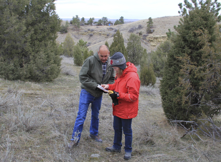
Craig Drake, assistant field manager for the BLM in Billings, and Jennifer Alexander, outdoor recreation planner in the BLM office, look at a map of new trails Wednesday during a walking tour of the area.
In the Billings area, there is nothing quite like the Four Dances Natural Area.
Located high above the Yellowstone across the river from the site of old Coulson, the town that preceded Billings, the natural area affords spectacular views of the valley and of the city itself.
Owned by the Bureau of Land Management, the 765-acre natural area has trails radiating out from the main entrance off Coburn Road to the top of what is popularly known as Sacrifice Cliff, while other trails wind down to brushy river bottom across from the city water plant and the property where the Corette power plant used to be.
This spring and summer, crews working for the BLM will complete work on a series of trails making even more of the expansive area accessible to the public.
Jennifer Alexander, the outdoor recreation planner for the Billings office of the BLM, said five miles of trail are already completed or at least roughed in, with another mile and a quarter of trail still to be created.
Most of the new trail is on the north end of the property, starting at the second, smaller parking lot that the BLM added a couple of years ago next to the air-quality-monitoring station just off Coburn Road. In the past, the only trail in that section of the area was an old road leading to a cabin formerly used by Western artist and writer Will James.
Now, a rough trail continues past the sod-roof cabin on a winding, up-and-down path that makes a big loop and returns to the parking lot. Another loop has been roughed in between the lower parking lot and the upper lot, which is next to the concrete pad where a caretaker parks a camper from April 15 to October 15.
Craig Drake, assistant field manager for the BLM, said Montana Conservation Corps crews and BLM fire crews will finish work on those trails this year and will build two smaller trail sections—a half-mile loop starting at the main parking lot, which will be ADA-accessible, and a loop trail down on the river bottom, which will be three quarters of a mile long.
Some interpretive signs and kiosks will also go up eventually and there are benches scattered throughout the area, but the intent is to leave it mostly alone. It is officially designated a Special Recreation Management Area and Area of Critical Environmental Concern. That means the BLM manages the site for the protection of open space and natural and cultural resources, while also providing recreational opportunities.
The BLM acquired the property in 1999 from Vince Larsen, who still lives on a private patch of ground roughly in the middle of the natural area. The BLM worked with the Yellowstone River Parks Association on the acquisition, and the YRPA continues to fund the seasonal caretaker.
Ed Kemmick/Last Best News
Last year, the BLM did some restoration on the Will James cabin, replacing the liner under the sod roof, touching up the paint and adding chinking between the timbers.
Most of the 765 acres are on top of the Rims, with just 40 to 50 acres down on the river, accessible by an old, steep Jeep trail.
The site was named in honor of Chief Four Dances, a figure of religious and military significance in Crow Indian history. Four Dances is said to have used the area as a fasting site in the early 1800s.
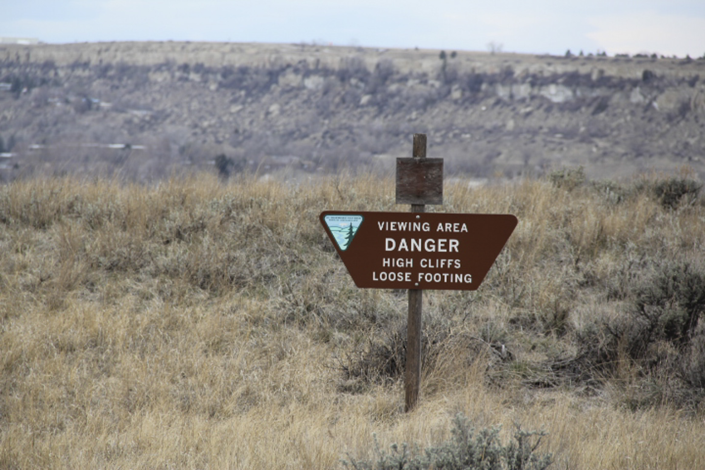
According to Crow tradition, Sacrifice Cliff is where two Crow warriors rode their horses to their deaths after returning to find that smallpox had killed nearly everyone in a Crow encampment. The location of the cliff has long been in dispute, but popular imagination has always placed it in the area now known as Four Dances, where the highest cliffs soar 500 feet above the river.
The area is officially open only for hiking, picnicking, cross-country skiing and wildlife viewing, with a prohibition on all vehicles, including bicycles. Also prohibited is horseback riding, rock climbing, the discharge of firearms, fires and firewood cutting.
Drake said regulations used to say that dogs had to be on leashes at all times, but now, outside of the parking areas, they may be off the leash but under their owner’s control.
Getting there
Follow Highway 87 E over the Yellowstone River toward Lockwood. Just past the Interstate-90 interchange, take a right on Coburn Road. The two parking areas for the Four Dances Natural Area will be on your right, clearly marked. Click here for a map of the area.